Overview
Publications
Recruitment
Intranet
Glimpse of CIFRI
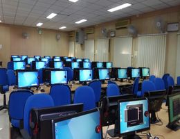
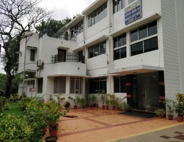
Five days long training programme on “Application of Open source GIS Software for Inland Fisheries management” in was organised at ICAR-CIFRI, Barrackpore from 26-30 November 2018. Dr. B. K. Das, Director, ICAR-CIFRI, Barrackpore in his address emphasised the role of Geographical information system technology in fisheries research. Through the use of this technology spatial and temporal information can easily be disseminated. The Director congratulated the organizers and participants on successful completion of the course.
The aim of this training was to propagate the use of open source GIS in Inland Fisheries Research. Open source GIS has become a popular software in the past few years due to its convenience of being free of cost and also allowing the user access and alter the source code. Using Q-GIS as an open source GIS software had been the key focus of this training. The foremost deliverable was building capacity of participants, to learn the nitty gritty of this software like geo-referencing, vector analysis, overlaying, theme generation, GPS etc., so that they can easily compose individual study area maps after completion of the training. There are 12 participants from ICAR-CIFRI and ICAR- RCER Patna. More than 70% of trainees were fresher to the subject and they were deftly introduced with the overview of GIS in inland fisheries management. They had been evaluated both prior to the training as well as after it and the results showed an 80% improvement in their performance. The participants gave their valuable feedback and were happy with their knowledge enhancement.


